 Between Meissen and Döbeln, on the richest farmland in Saxony, an early medieval Slavic people lived whom the Germans called Daleminzi. They called themselves something else: Glomači, after a lake whose colour was read for signs of things to come. In the winter of 928/929 King Henry I arrived, besieged their chief fortress of Gana for twenty days, and afterwards built Meissen. What remains of the Daleminzi today is written on the village signs of the Lommatzsch loess country.
Most early medieval peoples take their name from a river, a landscape or a leader. Not the Daleminzi. Among themselves they were the Glomači, and that name belonged first to a body of water: a shallow, spring-fed lake north of present-day Lommatzsch that was held sacred and used as an oracle. That is unusual enough to make you pause. Here is a group defining itself by its sanctuary rather than by its ruler.
We know this only because a German bishop wrote it down. Thietmar of Merseburg composed his chronicle between roughly 1012 and 1018, and he gives both names side by side, stating explicitly that one comes from the Germans and the other from the Slavs. Sentences like that are worth their weight in gold. They show that the outsiders' label and the people's own name were not the same thing — and that an eleventh-century chronicler still knew the difference.

The pagus Daleminzi — a pagus or Gau being an early medieval settlement and administrative district — covered the land around Meissen and the so-called Lommatzscher Pflege, the country between the Elbe and the districts around Döbeln and Mügeln. A portion reached across the Elbe into the Großenhain area. This was not accidental country. The Lommatzscher Pflege sits on deep loess soil. It is among the oldest farming landscapes in Germany and counts as Saxon Altsiedelland, ploughed since the Neolithic, long before any Slavic settlers arrived.
So when the sources say Daleminzien, they mean grain country. Wheat, barley, excellent soils, small hamlets packed close together. That explains a great deal: why the region was densely settled, why it was coveted, and why Frankish and Saxon rulers came back to it again and again. Nobody marches an army into a swamp. They march it into a granary.
"Daleminzi" is an exonym — a name given from outside. The sources spell it many ways: Dalamantia, Daleminci, Dalmatii, Talaminzi, Deleminci. The resemblance to the ancient regional name Dalmatia is striking, and part of the scholarship assumes that learned scribes transferred a familiar classical name onto a people east of the Elbe. It cannot be proven; it remains a well-argued guess.
The self-designation Glomači is linguistically harder. The Sorbian studies scholar Ernst Eichler worked on it intensively and weighed several derivations, including one pointing to damp or boggy ground — in other words, to the lake itself. No final etymology exists. What is clear is the road to the modern place name: Old Sorbian *Głomač, then, with the characteristic Upper Sorbian shift from g to h, Hlomač — and from that, Lommatzsch. The name of the sanctuary is still in daily use, though almost nobody who says it knows why.
The Daleminzi become visible in 805. Charles the Younger, a son of Charlemagne, led a campaign against the Slavs, chiefly against the Bohemians. One of the three armies, the Saxon one, marched through the Warnenfeld into a region the annals call Demelchion, fought there against a king named Semela and defeated him. That is the first hard piece of evidence, and it already tells us something important: these people had a leadership the Franks thought worth naming.
In 856 the East Frankish king Louis the German first passed through the land of the Sorbs, whose dukes joined him, and then defeated the Daleminzi in battle. They had to hand over hostages and pay tribute. In 880 they tried the reverse: together with Bohemians, Sorbs and other neighbours, and taking advantage of a Saxon defeat at the hands of Norse raiders, they raided into Thuringia and burned and plundered along the Saale. Poppo, margrave of the Sorbian March, drove them back. The pattern repeats across a century and a half: campaign, tribute, revolt, campaign.
One of the very few sources that is not about warfare is a plain list: the Descriptio civitatum et regionum ad septentrionalem plagam Danubii, usually called the "Bavarian Geographer" — an anonymous ninth-century Latin text, most likely written at Reichenau. It enumerates Slavic peoples east of the empire and gives each a number of civitates, meaning fortified settlement units or fortress districts.
On our people it says simply: Iuxta illos sunt quos vocant Talaminzi, qui habent civitates XIII — "Next to them are those called Talaminzi, who have thirteen civitates." German-language literature occasionally gives the figure as fourteen; the transmitted Latin reading is XIII. More important than the argument over a numeral is the context. Immediately before them stand the Sorbs with fifty, immediately after them the Bohemians with fifteen. So the Daleminzi were a mid-sized entity — no empire, but no handful of villages either. And the text places them beside the Sorbs, not among them.
It helps not to imagine Daleminzien as a state. What archaeology shows is a network of ringforts — circular ramparts of timber, earth and stone — each with a district of villages around it. Such a fort served as refuge, storehouse, court and seat of a local elite. One of them was larger and more important than the rest, and the sources call it Gana.
How this held together politically is an open question. Whether a permanent overlord ruled all thirteen districts, or whether alliances were formed as circumstances demanded, cannot be decided from the sources. The rex Semela named in 805 argues for some overarching leadership — but Frankish scribes cheerfully called minor chieftains kings. Comparable structures are known from the Hevelli on the Havel and from the Liutizi, who operated as a league without a king. Daleminzien was probably a federation of districts sharing a sanctuary rather than a "tribe" in the popular sense.
Around the turn of the century the situation turned dangerous. After conflicts with King Conrad I, Henry — then Duke of Saxony and later King Henry I — campaigned against the Daleminzi, who called in the Hungarians to help them. The dating wobbles: Thietmar places the expedition "around the year 900", while modern scholarship generally assumes 906 or 908. What is certain is that Hungarian mounted armies were pushing deep into Saxony and Thuringia in these years, and that a Slavic people brought them in as allies against the Saxons.
That was a decision shrewd in the short term and catastrophic in the long one. In Saxon eyes it turned Daleminzien from a neighbour into a security problem. When Henry concluded a nine-year truce with the Hungarians in 926 and began systematically building fortifications and raising a mounted force, it was not hard to guess what all of it would eventually be pointed at.
In the winter of 928/929 Henry I set out. His first target was Brandenburg on the Havel, the princely seat of the Hevelli, which he took across the ice. Then he turned south into Daleminzien. Our principal witness is Widukind of Corvey, a Saxon monk who wrote his Res gestae Saxonicae only around 967/968 — some forty years after the events and from an unmistakably Saxon point of view.
In Book I, chapter 35, Widukind reports that Henry besieged the fortress of Gana and took it on the twentieth day. He gave the plunder to his warriors; all adults were killed, while boys and girls kept their lives — in captivity. That sentence should not be skimmed. In a subordinate clause it describes the annihilation of a settlement's population and the carrying off of its children, and the chronicler reports it as good news.
For centuries Gana was looked for all over the region. Today an early medieval fortification near Hof, in the municipality of Stauchitz, on the small river Jahna, is by far the strongest candidate. Excavations took place there as early as the 1920s and again in the 1970s; geophysical survey from 2003 onwards and aerial photography produced the decisive evidence. The river name Jahna also fits Gana phonetically.
The findings are impressive: a ringwork enlarged in several stages, built with a massive timber-box construction and a palisade, enclosing a roughly square courtyard of about 75 by 75 metres with numerous sunken-floor huts and surrounded by a ditch. Clear burning horizons date to the tenth century. The published dimensions differ: one reads of a rampart possibly up to twelve metres high, and elsewhere of a reconstructed wall about six metres high and fifteen metres thick at the base, a ditch fifteen metres wide and five metres deep, and a circuit of roughly seven hundred metres. From these figures the historian David Bachrach calculated in 2013 that filling in a two-hundred-metre stretch of the ditch would have required moving some 15,000 tonnes of earth — on his model, well over a hundred thousand man-hours. These are calculations, not excavation results; but they do convey what a siege of this kind actually cost.
And there is a bitter twist. The site has been ploughed over for decades. The Saxon State Office for Archaeology has warned repeatedly that without a change in land use the monument will be entirely levelled within a few decades.
After Gana fell, Henry moved further up the Elbe towards Prague. On the way he had a fortress built on a rock above the river, where the Meisa brook joins it: Meissen. Dendrochronological analysis — dating by tree rings in the structural timber — confirms an early building phase in the year 929. This was not a field camp but a permanent installation. It secured the middle Elbe and became the nucleus of what would later be the March of Meissen, and later still the core of Saxony.
Administration followed. The conquered territory was divided into Burgwarde, small military and administrative districts each centred on a fortress. A margrave of Meissen is attested from 968. Success was not immediate, however: after a Saxon defeat by the Bohemians in September 936, Meissen appears to have been lost again for a time. Incorporation was a process, not a date.
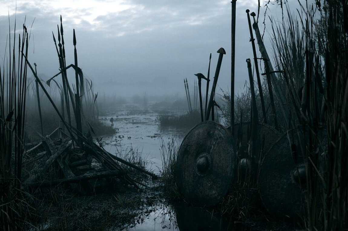
That leaves the heart of the matter. Thietmar of Merseburg describes in his chronicle the lake from which the land and its people took their name. It is one of the very few written glimpses of Elbe Slavic religious ideas in this region:
Glomuzi is the name of a spring lying no more than two miles from the Elbe. It feeds a lake which — as the locals affirm and many have confirmed with their own eyes — repeatedly produces remarkable things. When peace is to be expected and the soil does not withhold its fruit, the lake appears covered with wheat, oats and acorns, and gladdens the hearts of those who often gather there. But when the storms of war break out, it foretells the outcome in advance, by blood and ashes. All the inhabitants revere and fear it more than the churches, however uncertain their hope may be. From it the district takes its name, which stretches from the Elbe as far as the Chemnitz.Thietmar of Merseburg, Chronicon I,3 (written c. 1012–1018); own working translation from the Latin
The lake lay a good two kilometres north of Lommatzsch, between the villages of Paltzschen and Dörschnitz, in a hollow with no outflow. It was small and highly variable; on a map of around 1600 it appears as an ellipse of roughly 360 by 250 metres. From 1807 it was drained by a ditch, and by 1838 at the latest it had vanished. Today, ironically, it is that very drainage ditch — still called the Seegraben — that keeps its memory in the landscape.
One detail is worth noting. Thietmar's reddening has a scientifically plausible explanation. The green alga Haematococcus pluvialis forms masses of intensely red resting cells under stress, for instance during drought, and can turn shallow water blood-red. Anyone unaware of the cause would reasonably read a sign in it. And since dry spells both encourage poor harvests and make roads passable for armies, the interpretation was not entirely groundless either.
In 967, at the synod of Ravenna and at the urging of Emperor Otto I, Pope John XIII approved the founding of three bishoprics: Meissen, Merseburg and Zeitz. Meissen was established in 968 and was responsible for the district of Daleminzien, the district of Nisan in the Dresden Elbe valley, and the land of the Milceni around Bautzen. Churches appeared first at the principal fortresses and in certain Burgwarde — the new order was laid directly on top of the old one.
Christianisation was not a clean break but a long transition. On the current state of research it dragged on and was only completed with the high medieval parish organisation. The lake at Paltzschen was still visited by local farmers long after conversion; the custom faded only gradually. The name it later acquired is telling: "Baal's Lake", after the Old Testament idol. People still knew that something had been here that did not belong to the church.
Old Sorbian survived in the region for a long time. The shift to complete German-language use probably occurred in the fourteenth and fifteenth centuries — comparable to, but considerably earlier than, the Polabians in the Wendland, whose language died out only around 1750.
Anyone driving through the Lommatzscher Pflege today reads the Daleminzi on the village signs. Auterwitz, Baderitz, Binnewitz, Clanzschwitz, Schlagwitz — endings in -itz, -witz and -schütz go back to Slavic name formation. Add to that the small, tightly clustered hamlets and round villages whose ground plans in many cases derive from Slavic foundations. No monument, no museum piece: simply the landscape itself. For the wider picture, see our overview of Germanic, Celtic and Slavic peoples.
For us in Alsdorf, at the other end of the same empire, that is familiar territory. In the Rhineland it is Celtic and Latin roots that sit inside the place names; on the Elbe it is Slavic ones. Both are strata beneath what now feels self-evident. And both say the same thing: a homeland is never only one language deep.

The Sorbs · The Milceni · The Hevelli · The Sprevane · The Saxons.
All History & Finds articles →
Sometimes a war is won not with the sword but with the purse. In 991 the English ealdorman Byrhtnoth faced a Viking …
Read more →In 723 an Anglo-Saxon missionary stood axe in hand before the holiest tree of the Hessians – the oak sacred to the …
Read more →Vikings were not only raiders. In the Rhine-Meuse delta they sat in the very middle of the greatest trading centre of …
Read more →