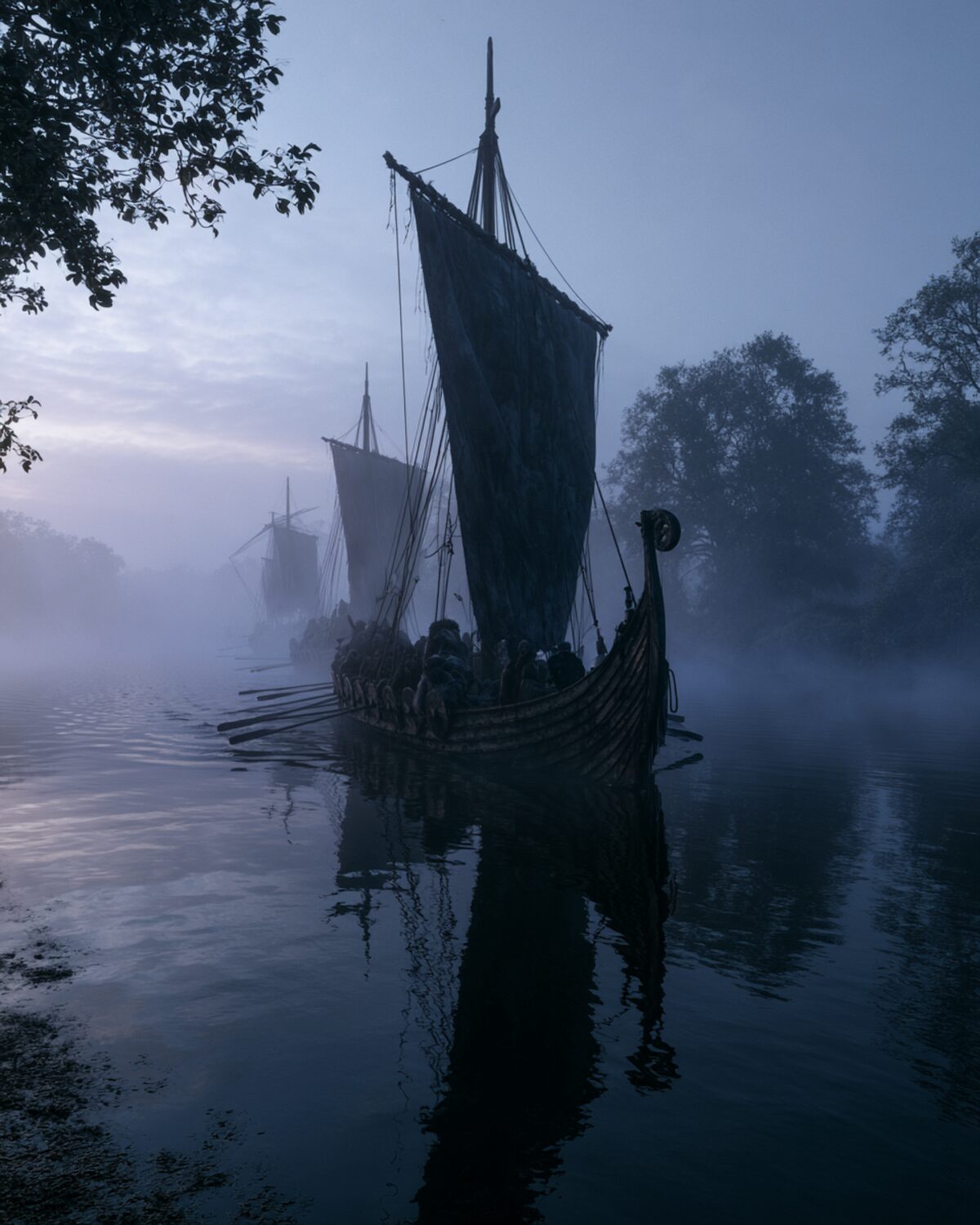
 There is a well-known rule of thumb: Danes sailed west, Norwegians across the Atlantic, Swedes east. As a rough map of the Viking world it works surprisingly well – as a fixed truth about "nations" it does not work at all. We show both: the useful pattern and its limits.
Anyone reading into the Viking Age sooner or later meets a memorable threefold division: the Danes went mainly west and south, the Norwegians out across the Atlantic, the Swedes east. The rule is popular because it brings order into an enormous story. From roughly 793 to 1066, Scandinavians were on the move across three continents – as raiders, traders, mercenaries, settlers and explorers. The threefold division helps you find your way in this swarm. You should know it. You should only be aware that it is an ideal type and not a law of nature.
One caveat matters right at the start: "Denmark", "Sweden" and "Norway" as unified states with fixed borders did not yet exist in the early Viking Age. There were chieftains, petty kings, shifting alliances and regions that only gradually grew into kingdoms. When we speak here of "Danes" or "Swedes", we mean the homelands roughly, not nations in the modern sense.
The Danish region lies closest to central Europe – and that is exactly where the energy was directed. From Jutland and the islands, England was within reach, the Frankish empire lay across the North Sea, Frisia just around the corner. The famous early raids on England and the monasteries belong to this picture, as do the great river voyages into Francia that even reached Paris in 845.
The strongest evidence is the "Great Heathen Army" that landed in England from 865 and conquered large parts of the country. From these conquests arose the Danelaw – the area in which Danish law and language held sway. To this day, place-names ending in -by and -thorpe (such as Derby, Grimsby, Scunthorpe) and hundreds of Scandinavian loan-words in English reveal how deep this presence ran. The trading hub and power centre of the Danish region was Haithabu (Hedeby) on the Schlei, one of the greatest marketplaces of the North. The westward-southward drive of the Danes is thus not merely a rule of thumb but well attested.
Norway's jagged coast opens to the west, out onto the open Atlantic – and the Norwegians followed this road across the islands. Scotland, the Orkneys and Shetlands, the Hebrides and the Isle of Man became Norwegian-shaped worlds. In Ireland, Northmen founded a fortified ship-harbour in 841 from which Dublin grew, along with Waterford, Wexford, Cork and Limerick.
From the islands the road led on into the empty spaces: around 870 the settlement of Iceland began, around 985 Greenland followed, and around the year 1000 ships briefly reached Newfoundland – the only certain Viking settlement in America, L'Anse aux Meadows, whose timber could be dated by tree-rings precisely to 1021. This is the most spectacular side of the Viking world: not a raid but the discovery and settlement of empty North Atlantic islands. Place-names, sagas and the genetics of Iceland's founding population support this west-Atlantic orientation of the Norwegian region.
The Swedish region, above all the lands around Lake Mälaren, looked eastwards across the Baltic. From here Scandinavians travelled up and down the Russian rivers – the Volga and the Dnieper – and traded in furs, slaves and silver as far as the Byzantine Empire and the Caliphate. In the east they were called "Rus" and "Varangians". The trading places Staraja Ladoga and Novgorod, later Kyiv, became the hubs of this eastern route.
A particularly early piece of evidence stands in a Frankish chronicle: in 839 envoys arrived at the court of Emperor Louis the Pious at Ingelheim who called themselves "Rhos" – and on closer examination it emerged where they came from:
On careful investigation he found that they belonged to the people of the Swedes.Annales Bertiniani, for the year 839 (public-domain rendering of the Latin edition)
The most famous fruit of these eastern voyages was the Varangian Guard – Norse elite soldiers in the service of the Byzantine emperors in Constantinople, which the Northmen called "Miklagard" (the great city). In Sweden, numerous runestones commemorate men who travelled to "Greece", to "Serkland" (the Caliphate) or east with the expedition of Ingvar, and often did not return. The eastern orientation of the Swedish region is thus as well attested as the western one of the Danes.
Why does the threefold division work so well at all? Because different kinds of source point in the same direction. Place-names trace the zones: Scandinavian names cluster in the English Danelaw, on the Scottish islands, in Ireland and Iceland. Runestones are distributed to match: the "Greece" and "eastern voyage" stones stand in Sweden. Coin and silver finds attest the trade routes: Arab dirhams streamed into the North along the eastern route, western silver and Danegeld through England and Francia.
The genetics of modern studies, too, broadly fit the picture: Danish heritage concentrates in England, Swedish in the Baltic and the land of the Rus, Norwegian in Ireland, Iceland and Greenland. The rule of thumb is therefore no mere schoolbook mnemonic but the condensed sum of many independent traces.
The three roads did not stay the same over the centuries. At the beginning stood short, lightning raids on coasts and monasteries – that phase which entered Europe's awareness in 793 with the attack on Lindisfarne. These grew into larger fleets, winter camps and finally lasting rule: the raid became land-taking, the raider became a settler or trader.
In the west this led into the Danelaw and into Norman and Irish-Norse kingdoms. In the North Atlantic, voyages of discovery grew into whole new societies – an Icelandic free state, Greenlandic farms. In the east, the trading posts of the Rus grew over time into the principalities from which Novgorod and Kyiv later emerged. So the three roads shifted from pure raiding towards trade, settlement and state-building. It is precisely in this development that the true reason lies why the Viking Age still shapes the map of Europe today – and why a rule of thumb that names only the direction has not yet told the most important part.
And yet: as soon as you look more closely, the lines blur. Danes too were active in the east, Norwegians and Danes fought side by side in Francia, men of Swedish stock landed in the west. The famous Viking town of Dublin and the English Jórvík (York) belonged at times to a single realm in which "Norwegian" and "Danish" groups can hardly be cleanly separated. Contemporaries in any case rarely distinguished by country of origin: Franks, Anglo-Saxons and Irish usually spoke simply of "Northmen", "heathens" or "Danes" – the last often as a blanket term for all Scandinavians, wherever they came from.
Even where Irish sources distinguish between "fair foreigners" and "dark foreigners" (Finngaill and Dubgaill), it is disputed to this day whether that really means Norwegians and Danes or rather older and newer groups. The roads overlapped strongly, the groups mixed, and one and the same fleet could unite men from several regions.
A vivid example is the Varangian Guard itself: in Constantinople, alongside Swedes, men from the Norwegian and Danish regions served too, and later even Anglo-Saxons who had fled the Normans after 1066. And the famous runestones, so readily sorted by compass direction, often tell on a close reading of individuals who travelled every which way – a man said to have been "in the west" as well as "in the east" fits no tidy scheme. The Viking world was far more networked and mobile than three neat arrows on a map suggest.
One should therefore not throw the pattern away – only understand it rightly. Geography explains much. Whoever sat in Jutland had the North Sea at the door; whoever lived on the western fjords, the open Atlantic; whoever dwelt by Lake Mälaren, the Baltic and the river-roads east. Trade networks, alliances and the experience of earlier voyages reinforced this orientation: people went where kinsmen and trading partners already sat. Over time, different focal points arose, without there ever being sharp "national" borders.
The three roads are thus best understood as three focal points – the result of location, opportunity and grown networks, not of national character. As a map in the head, the rule of thumb is excellent. As a label for "typically Danish" or "typically Swedish", it misleads.
The Danish region concentrated on England (Danelaw, Great Army from 865, place-names in -by/-thorpe), Francia (river voyages to Paris in 845) and Frisia; trading centre Haithabu. The Norwegian region shaped Scotland, the islands, Ireland (Dublin from 841) and the North Atlantic (Iceland c. 870, Greenland c. 985, Newfoundland/L'Anse aux Meadows c. 1021). The Swedish region turned east: Baltic, Russian rivers, Byzantium and the Caliphate (Rus/Varangians, Varangian Guard, Ingvar and "Greece" runestones). The Annales Bertiniani expressly identify the "Rhos" of 839 as Swedes. Place-names, runestones, silver finds and modern genetics support the rough distribution.
The threefold division is an ideal type, not a hard border. "Denmark", "Sweden" and "Norway" as nations with fixed borders did not yet exist in the early Viking Age – there were chieftains and petty kings. The directions overlapped strongly: Danes also sailed east, Norwegians and Danes fought together in Francia, Dublin and York formed at times a shared realm of power. Contemporaries mostly spoke loosely of "Northmen" or "Danes". Even the Irish distinction Finngaill/Dubgaill does not certainly mean Norwegians and Danes. Modern attributions in the style of "typically Danish/Swedish" should be handled with care – origin created focal points, not a national character.
Viking traces in Germany · Hedeby · Birka – the trading hub · Leif Erikson · The Great Heathen Army.
All History & Finds articles →
Long before there were Vikings in the sense of the sagas, there was already a town in south-west Jutland: Ribe, founded …
Read more →