Three metres and more beneath modern Dublin lies a town of wattle, fences and hearths. The chronicles say almost nothing about it: a camp in 841, an expulsion in 902, a return in 917. Everything else is in the ground, in graves, house plans, lead weights and silver pennies. This article reads Dublin layer by layer and keeps apart what the annals report, what was excavated and what is only interpretation, including where scholars still argue about when the camp became a town and how large its notorious slave market really was.
Dublin has two Irish names, and each marks a specific spot by the water. Duiblinn, from the words for “black” and “pool”, refers to a dark basin on the River Poddle just before it joins the Liffey. Áth Cliath, the “ford of hurdles”, lay a little upstream at a Liffey crossing. The second name survives in the modern Irish Baile Átha Cliath, the first, by way of Old Norse, in English “Dublin”. The Norse form was Dyflinn; on coins from around the year 1000 it appears as DYFLIN.
The place was not empty when the Scandinavians arrived. In his article on Irish longphorts, the archaeologist Michael Gibbons points out that the annals name an abbot of Duibhlinn as early as the seventh century. A monastery probably stood here, and the first camp may have taken over an existing church settlement. How large it was and what became of it cannot be clearly established.
Whether the two names meant one place or two in the Viking Age remains open. Some archaeologists reckon with two camps, one at the pool and one upstream near today's Usher's Island; others treat the names as labels for a single base. The later town in any case grew at the confluence of Poddle and Liffey, on the ridge between today's Dublin Castle and Christ Church. The political story of Dublin's Norse is told in our article on the Ostmen; here the subject is the place itself.
Dublin's founding record is a terse sentence in the Annals of Ulster. Just before it, in the same entry, stands an identically built sentence about a camp at Linn Duachaill, today's Annagassan in County Louth.
Longport oc Duiblinn as-rorta Laigin & Oi Neill etir tuatha & cealla co rice Sliabh Bledhma.
“A ship camp at Duiblinn, from which the Laigin and the Uí Néill were plundered, peoples and churches alike, as far as Sliabh Bladma.”Annals of Ulster, U841.4, Irish text from the CELT edition; my own translation
The sentence names no leader and no size, and it describes the camp only by its function: a base for raids that reached the Slieve Bloom mountains in the Irish midlands. The CELT edition files the entry under U841 but marks the year “Anno Domini 840”; scholars have settled on 841, and older texts also write 840.
And what is a longphort? The word joins long (“ship”) with port (“place, harbour”) and in the ninth-century annals means a base where ships lay. Gibbons adds a warning: the meaning shifted later, by the fourteenth century the word denoted fortified Irish lordly sites, and translators projected that younger sense back onto the Viking Age. “Camp” is therefore the most cautious rendering, “fortress” already an interpretation. The archaeologist Linzi Simpson, according to the Irish Times, adds another caveat: 841 may mark only the year the military elite first overwintered, not the first Scandinavian on the spot.
Nobody has found it with certainty. There are three candidate zones.
The first is the Black Pool itself. At South Great George's Street in 2003, Simpson came upon a former watercourse reaching into the site as an inlet or arm of the pool, perhaps used as a landing place. Its gravels yielded boat nails and an iron axehead, and gullies follow the old waterline. The excavation report places the camp nearby and within reach of the Poddle, but describes no ramparts.
The second is the Dublin Castle site directly beside the pool, often seen as the obvious location. Later building probably overlies any older traces, so proof is hard to come by.
The third lies a good three kilometres west, at Kilmainham. The Irish Museum of Modern Art mentions on its heritage trail an elongated hill that may have served as a winter camp, and marks this itself as conjecture.
This burial complex is older than any orderly archaeology in Ireland, and that is its problem. Finds surfaced from the late eighteenth century, then in great numbers during the nineteenth through railway building and gravel digging. The Great Southern and Western Railway took its gravel from the Long Meadows at Islandbridge. Precise find reports are often lacking. In 1846 the Danish archaeologist Jens Worsaae had James Plunket record the objects in watercolours, and in 1866 William Wilde presented a major study to the Royal Irish Academy.
The standard work is Viking Graves and Grave-Goods in Ireland by Stephen Harrison and Raghnall Ó Floinn (2014), some 800 pages. According to the Irish Times, at least 59 graves were found around Kilmainham-Islandbridge between the late eighteenth century and 1934. The authors of the report on the 2008 find follow Harrison and Ó Floinn in dividing the complex into zones; the western one alone has produced fifteen burials. “Cemetery” is thus a simplification.
Superlatives such as “the largest cemetery of its type in the Viking west” refer to graves with goods. Anyone buried without weapons or jewellery is missing from this count. The same goes for the sex ratio: in 1998 Ó Floinn arrived at about ten men per woman among Dublin's Viking graves; Stephen Harrison's 2008 thesis, according to a secondary account, counts nine women's graves out of 66. That describes the elite visible in the grave, not the population.
Laying out the War Memorial Gardens brought further graves to light in 1933 and 1934. In 2004 a contractor laying cables near the eastern entrance struck a sword and spearhead, and in 2008 the National Museum excavated. The young man also had a ringed pin; the spearhead had apparently been bent on purpose and the copper-alloy dish was dented in antiquity, whether deliberately is open. Tooth analysis tentatively points to a childhood in the Scandinavian region, though the teeth were disturbed and their association is not fully certain. The authors date the sword type to the period up to about the mid-ninth century and see it as support for a ninth-century date for the whole complex.
At Ship Street Great, Simpson found a warrior in the early 2000s, and at South Great George's Street in 2003 further burials. The excavation report counts five skeletons there while later accounts speak of four young men. One lay across a hearth, one had a shield boss on his chest and a knife at his hip, one a decorated bone comb and a pin with a hare's head.
Oxygen isotopes in tooth enamel reflect where a person drank water as a child, and according to Archaeology Magazine they pointed to Scandinavia for two men and to Ireland or Scotland for two others. A DNA comparison published in Nature in 2020 also included the Ship Street man. According to RTÉ he carried over 80 per cent British/North Atlantic ancestry; the Trinity College Dublin announcement calls him mostly of local origin, with very little Scandinavian ancestry. Whether he came from Ireland or from northern Britain cannot be said for certain from this. A woman from Finglas buried with a pair of oval brooches showed, by contrast, a roughly 80 per cent Norwegian signal. Dublin's “Vikings” were no uniform group of origin even in the ninth century.
According to the same magazine the radiocarbon ranges run strikingly early: 670 to 880 for two men, 689 to 882 for a third, 786 to 955 for the fourth, each at 95 per cent probability. At Golden Lane in 2004/05, Edmond O'Donovan found two more graves, one of an elderly woman, dated 678 to 870. Simpson, as quoted there, called the dates impossibly early and hard to reconcile with the sources. Yet the ranges do not rule out 841. The excavation report itself ties the dead to the camp of 841. A grave on a hearth, an old woman, men raised in the islands: this looks less like a raid than like people who stayed.
Under 902 the Annals of Ulster report the expulsion of the heathens from Ireland, namely from the fortress of Áth Cliath, by Máel Finnia son of Flannacán with the men of Brega and by Cerball son of Muiricán with the Laigin (U902.2). Fifteen years later Sitriuc, grandson of Ímar, lands with his fleet at Cenn Fuait on the Leinster coast, wins a battle there and enters Áth Cliath (U917.2–4).
The ground blurs that picture. Already in the late ninth century, according to Current Archaeology, the riverside site was levelled and reorganised with fences and wattle buildings, and Patrick Wallace, the excavator of Wood Quay, writes in a handbook article that plots were divided into yards well before 900. In his 2001 paper “Ireland's Viking Towns” he calls for the relation between the two phases to be re-examined. At Temple Bar West, directed by Linzi Simpson, a similar sequence emerged: Viking habitation from the mid-to-late ninth century, small sunken houses, and only in the early tenth century a reorganisation into six plots with a main house each.
Did only the ruling group vanish in 902, while craftspeople stayed? This is often suggested but cannot be clearly established, because layers here can hardly be dated to within a few years. When one may speak of a town at all is also contested: the historian Howard Clarke, reviewing it in the Irish Times, thought Wallace's starting point in the 840s too early, pointed to fenced plots in medieval villages too, and saw regular urban economic life emerging rather under Amlaíb Cuarán in the tenth century. On that reading Olaf the White, who was operating from Áth Cliath around 870, would have held a base rather than a town.
The National Museum excavated in the old town between 1962 and 1981; its publication series “Medieval Dublin Excavations 1962–81” uses the same dates, while one review gives 1961 instead. Patrick Wallace led the famous part from 1974, at Wood Quay and adjoining Fishamble Street, on a site of about four acres the city had earmarked for new offices. The dispute is legendary: a march of some 20,000 people in 1978, a three-week occupation in 1979 called “Operation Sitric”. The offices were built anyway; the protests at least won the archaeologists more time.
What makes Dublin special is preservation. The wet ground kept wattle, wood, leather and textiles, and according to a review of Wallace's final publication the Viking-age Fishamble Street lies about 3.5 metres below the modern surface. The Museum counted over 200 buildings, 150 of them at Wood Quay; other accounts give different numbers. Wallace's major publication appeared only in 2016, 35 years after the dig ended. Clarke's review complains that the number of building levels at Fishamble Street varies within the book between ten, thirteen and fourteen, and that no level is given a date range.
Wallace's preliminary report on the 1977–79 seasons is precise. The plots were trapezoidal, widest at the street, narrower towards the water, bounded by low post-and-wattle fences. A path of flat wattle screens ran along the fence to the back. These boundaries continued from the tenth into the eleventh century and, according to Wallace, still match the divisions on John Rocque's map of the mid-eighteenth century.
Each plot had a main house, gable to the street and usually spanning the plot's full width, so that one often had to walk through it to reach the yard. Wallace calls this Type 1. It makes up perhaps three quarters of the city's known Viking-age houses. The interior is split into three lengthwise strips: a central aisle with the hearth, broad side benches for sitting and sleeping, doors in the end walls. Tenth-century houses measured about 9 by 6 metres and rested on eight to twelve roof supports. In the eleventh century they became much smaller, with low side walls and steep roofs. Behind them stood smaller outbuildings without a hearth, known as Type 2.
Cattle apparently were not kept in town; according to Wallace the animal bones show they were driven in for slaughter.
Towards the river an earthen bank protected the settlement, and it too was renewed several times. The excavation report distinguishes a low bank of the early tenth century, perhaps only against flooding, then a stronger one with posts and wattle, and a third further out in the river that carried a palisade later in the tenth century. A stone wall followed at the end of the eleventh century. Each step lay further out into the Liffey.
Wallace describes the town as spatially divided by trade: non-ferrous metalworking, antler and above all combs, woodcarving and perhaps merchandising in their own quarters. Amber working was added at Fishamble Street; Current Archaeology describes amber cross pendants as a local innovation, rarely seen in Scandinavia. Carvings in the Ringerike style, a Scandinavian art style of the early eleventh century, and a stave with runes show the link to the north.
According to Wallace's list, raw materials arriving in town included amber, lignite, soapstone and walrus ivory, and finished goods silks, braids, worsteds, English brooches and coins. Going out were woollens, ringed pins, combs and strap ends. Payment long went by weight: Wallace mentions in a handbook article hundreds of lead weights following a Dublin ounce of 26.6 grams (a review of his final publication speaks of 180 identified pieces, so the figures differ), in line with the practice our article on hack-silver explains.
In the eleventh century, Wallace says, the town also earned money by provisioning ships and hiring out its fleet, among others to the Godwinson family. For shipbuilding there is evidence from Denmark: the longship Skuldelev 2, sunk near Roskilde, was built according to tree-ring analysis around 1042 of oak “in the vicinity of Dublin”, as the Viking Ship Museum in Roskilde states, for a crew of 65 to 70.
No topic in Viking Dublin is harder to measure. I know of no excavated market place for people. The evidence is written, and it speaks of individual cases more than of quantities.
The Annals of Ulster note under 821 that the heathens carried off a great number of women from nearby Étar, today's Howth (U821.3), and under 871 the return of Amlaíb and Ímar to Áth Cliath from Scotland with 200 ships and captives, Angles, Britons and Picts (U871.2). That shows Dublin as a destination of human raiding on a large scale, but it says nothing about prices, buyers or a fixed market. The medieval historian Clare Downham cites further traces, such as the Life of St Findan and the trade east for silk and Arabic coins, and stresses that contemporary sources reveal more about emotions than about commercial scale.
A chronology is offered by Poul Holm's 1986 article “The Slave Trade of Dublin”, which I know only in summary. In it, human raiding in the ninth century was a part of warfare, often tied to ransom. In the eleventh century, as Irish kings fought for the overkingship, they themselves sold prisoners of war in Dublin, and in the second half of that century a distinct Irish Sea market seems to have formed. This fits poorly with the common assumption that the trade peaked in the ninth and tenth centuries. Downham too writes that Irish kings of the tenth and eleventh centuries brought captives to the ports for sale.
The end came step by step. Máel Sechnaill is said to have freed the Irish slaves after storming Dublin in 980. Trafficking in people was banned in England in 1102, and the Synod of Armagh in 1171 ordered English slaves in Ireland to be freed; how many that concerned is unknown. For the twelfth century, Holm points to Norman legislation and the collapse of Dublin's control of the Irish Sea. The daily life of the unfree is covered in our article on Viking slavery.
Around 995 a king of Dublin did something nobody in Ireland had done before him: he had coins struck. Sigtrygg Silkbeard, Sitriuc in Irish sources and Sihtric on the pennies, was the son of Amlaíb Cuarán and the Irish princess Gormflaith. The date rests on numismatic work, above all Mark Blackburn's 2008 article, which I know only from a summary; the Oxford Dictionary of National Biography, according to Wikipedia, says “in the 990s”. An exact year cannot be given.
The model was the English pennies of Æthelred II. The early pieces weigh about 1.5 grams and copy the English king's image and type. One specimen of the Long Cross series carries the legends SIHTRC REX DYFLIN and GOLDSTEGN MO DYFLI, meaning “Sihtric, king of Dublin” and “Goldstegn, moneyer of Dublin”. Other issues take name, mint and moneyer from England, simply imitating a recognised coin.
Paying mercenaries and prestige have been suggested; evidence for any single reason is lacking. What can be seen is the decline described by Michael Dolley's division into seven phases. In Phase II, about 1018 to 1035, the weight falls to 1.2 grams or less and the legends become garbled. In Phase III, to about 1060, only meaningless strokes remain on coins of at most 0.7 grams.
Sihtric himself survived almost everything. Brian Boru took Dublin at the turn of 999/1000 and restored him after his submission. At Clontarf in 1014, Irish tradition has him watching from the ramparts, while Njál's saga has him fight. In 1028 he went on pilgrimage to Rome, in 1036 he had to abdicate, and in 1042 he died in exile.
Under Sihtric, Dublin also gained a bishop, and the founding of the first Christ Church is linked with him, probably at first a wooden building on the ridge above the town. The stone church came only after the Norman arrival.
East of it, later tradition names two landmarks: the “Long Stone” or Steine, a stone near today's College Street, and the Thingmote, an assembly mound near Hoggen Green. The stone is taken as a marker of the landing place and is already absent from Rocque's map of 1756. Its purpose is uncertain, and Seán Duffy re-examined the site of the Thingmote in a 2005 essay.
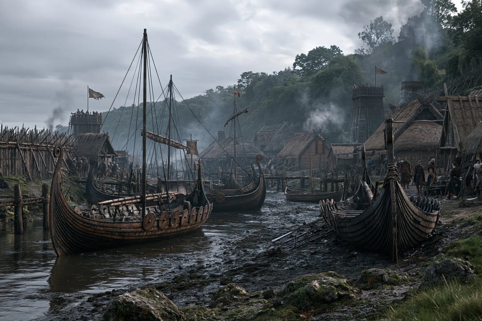
The result is a townscape without monuments: tight plots, wattle walls, hearths, an earthen bank with palisade, ships on the river side. The finds are in the National Museum of Ireland.
When did the Vikings found Dublin? The ship camp stands in the Annals of Ulster under U841, and scholars usually write 841. When it became a town is disputed; proposals range from the 840s to the tenth century.
What does Dublin mean? The name comes from Irish Duiblinn, “black pool”, a basin of the Poddle. The Irish city name Baile Átha Cliath instead recalls the ford of hurdles over the Liffey.
Can Viking Dublin be seen today? Hardly on the spot, since Wood Quay is built over. The finds are kept by the National Museum of Ireland.
Who was Sihtric Silkbeard? King of Dublin from about 989 to 1036 with interruptions, son of Amlaíb Cuarán. Ireland's first coins were struck under him, and the beginnings of the bishopric and Christ Church are linked to him.
Was Dublin a slave market? Trafficking through Dublin is attested in writing, especially for the eleventh century. Its scale cannot be quantified, and no market place has been archaeologically identified.
Ostmen: the Viking Irish · Clontarf 1014 · Olaf the White · Vikings in Ireland, Scotland and the Isles · Viking slavery · Hack-silver · Silver hoards · The Skuldelev ships · Jórvík
Vikings in Ireland: two centuries of raids, alliances and towns · The Ostmen · The Battle of Clontarf 1014 · Olaf the White · Slavery among the Vikings.
All History & Finds articles →
For almost three centuries England was the great prize of the Northmen – from the first monastery raid that shook …
Read more →Part of the Viking story was written on rivers, not at sea. The Seine, Loire, Somme, Meuse and Rhine carried …
Read more →In September 2020 the news went round the world: the largest DNA study of the Viking Age had shown that Vikings were …
Read more →The image of the Viking as a mere raider hides what really held the Norse world together: a far-reaching trade network …
Read more →